This segment of the trail is approximately 11 miles (one way).
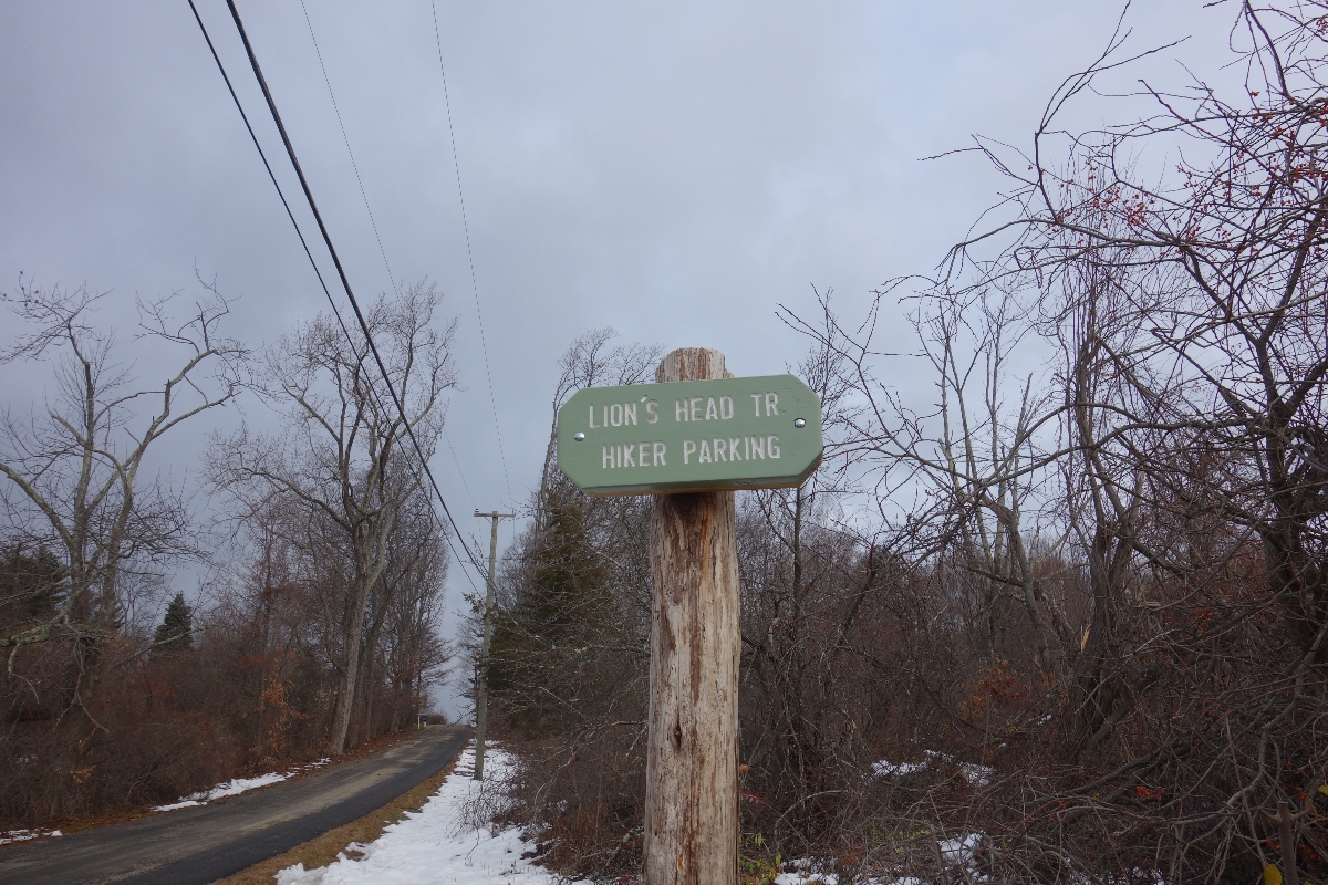
Starting Point: Lion’s Head Parking
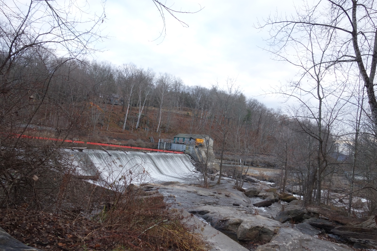
Ending Point: Iron Bridge Parking
Yesterday was pretty awesome because my dad and I hiked another 11 miles of the Appalachian Trail!
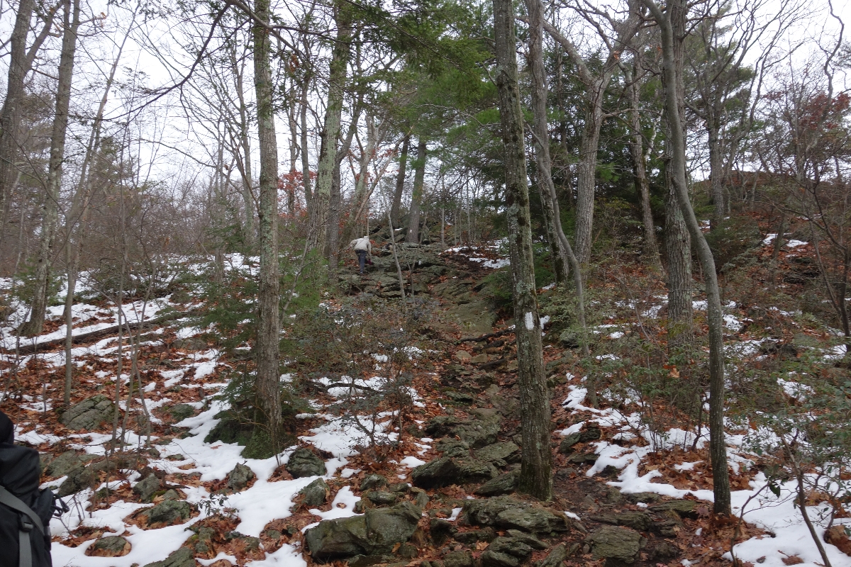
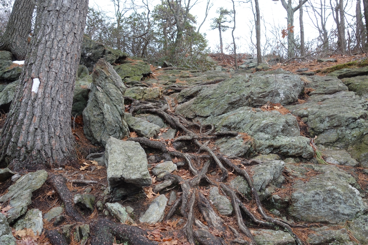
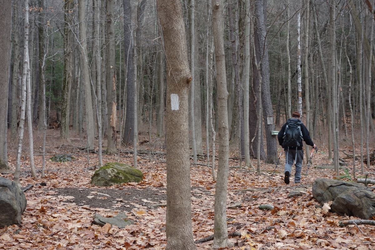
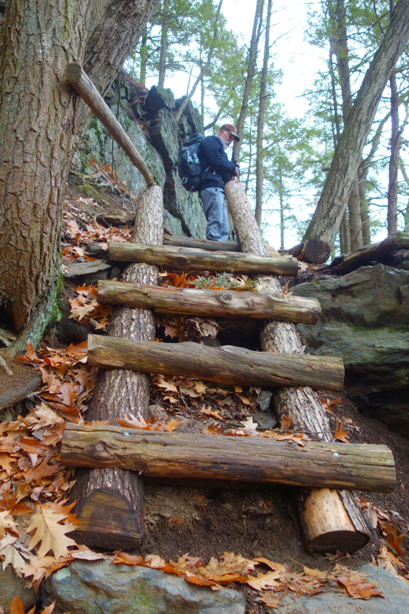
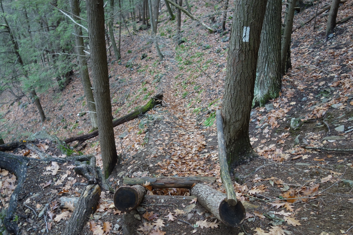
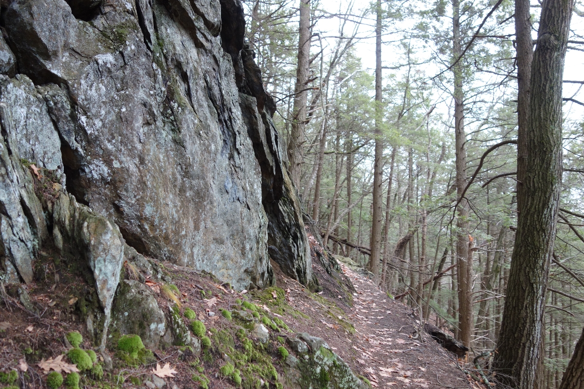
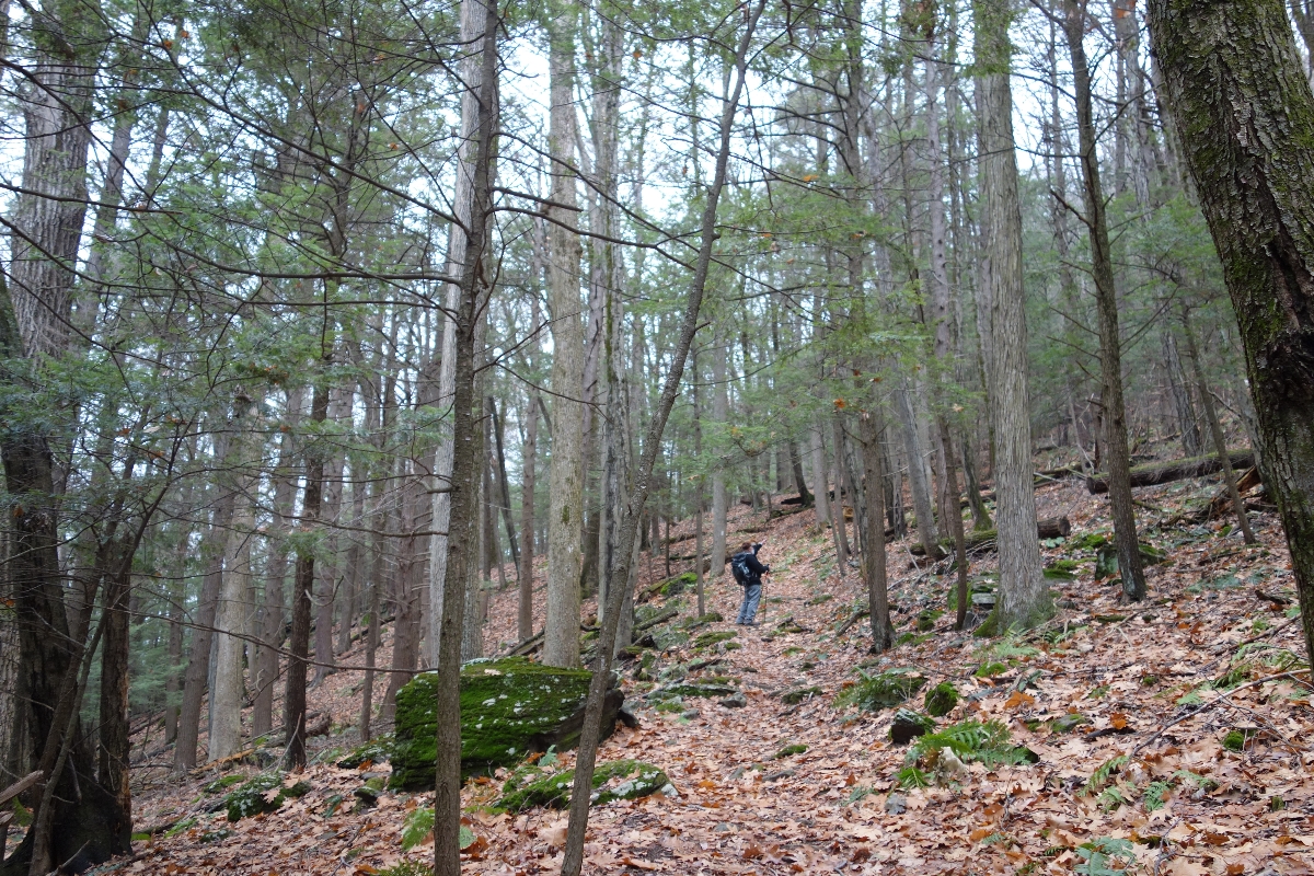
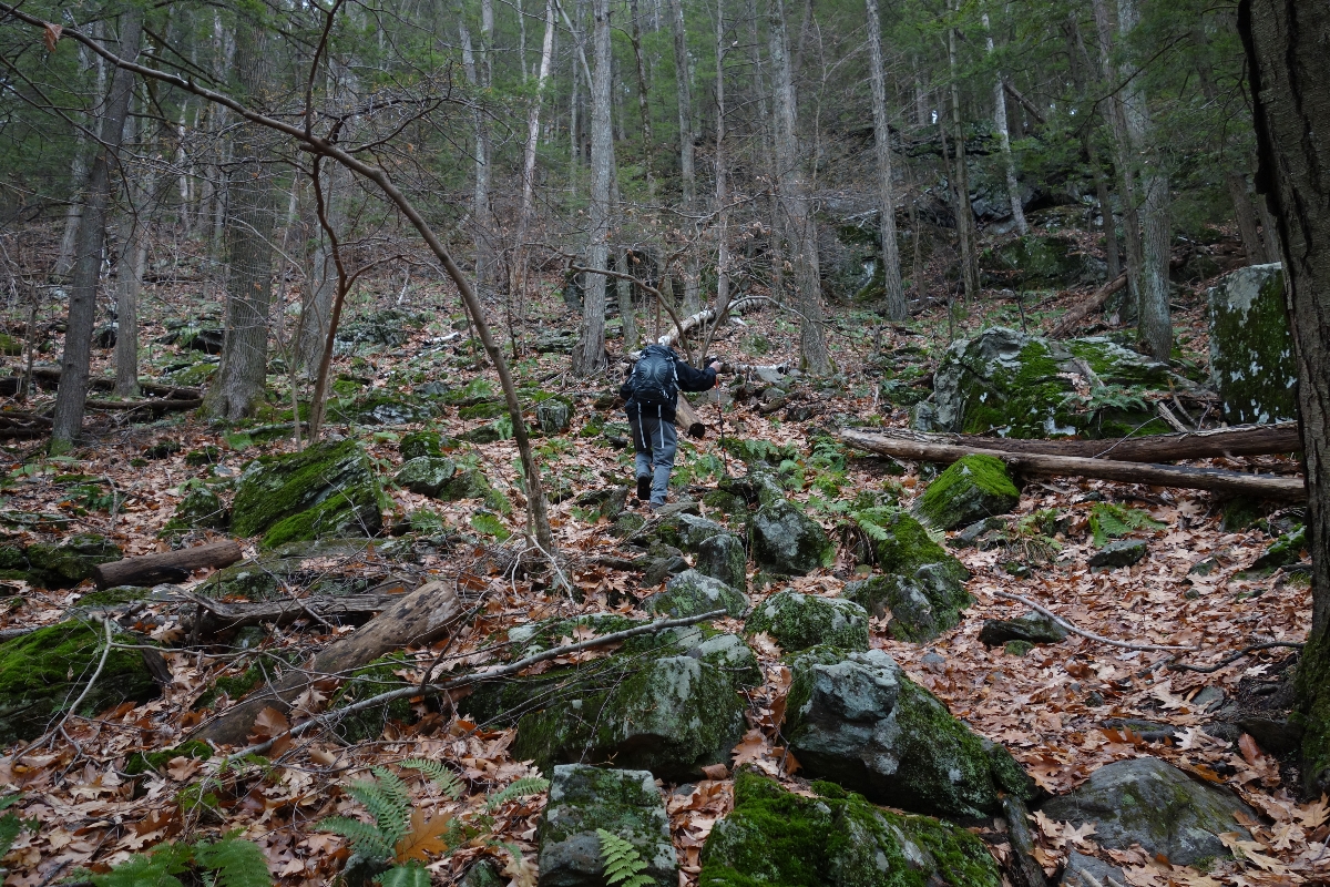
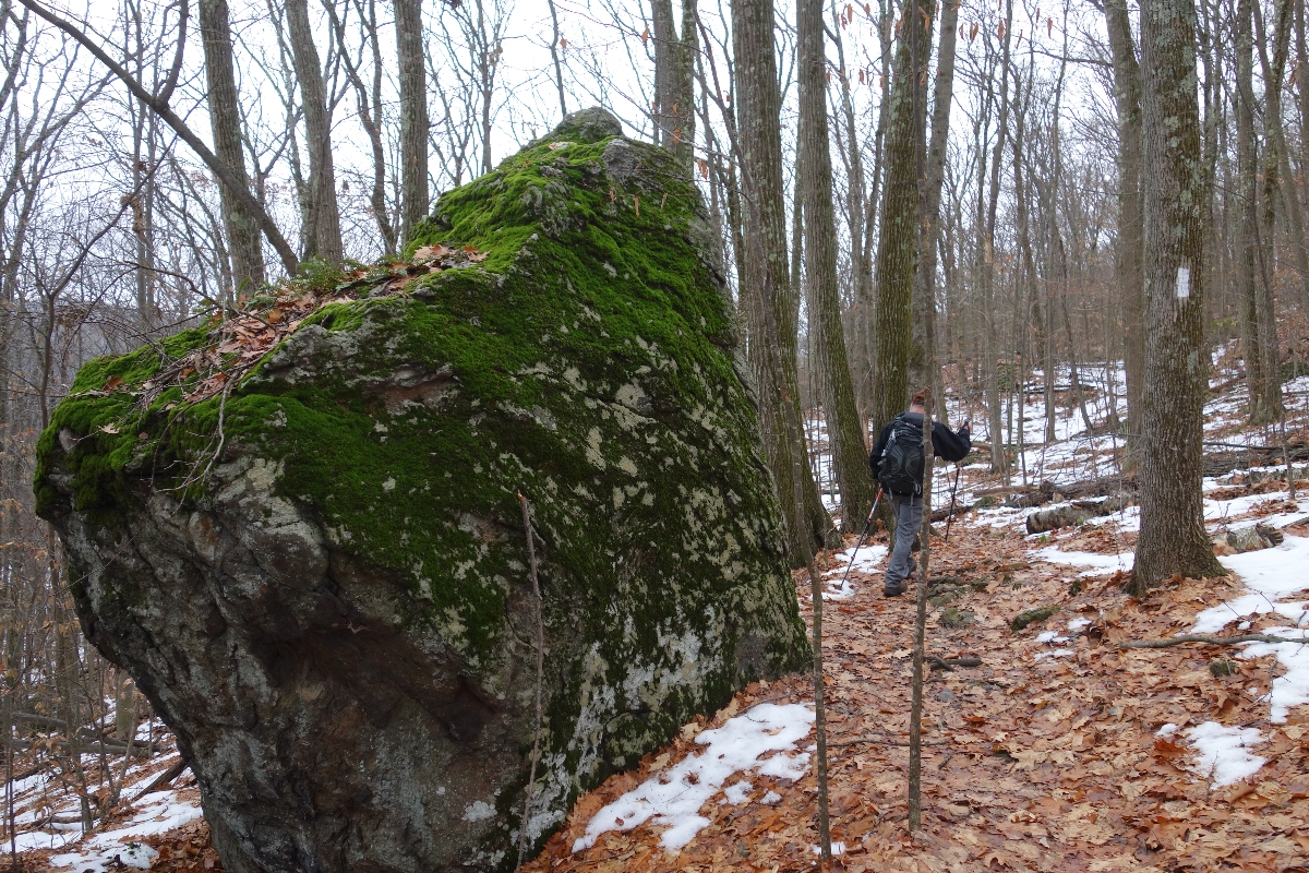
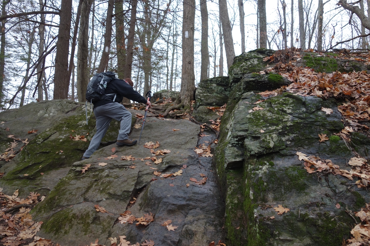
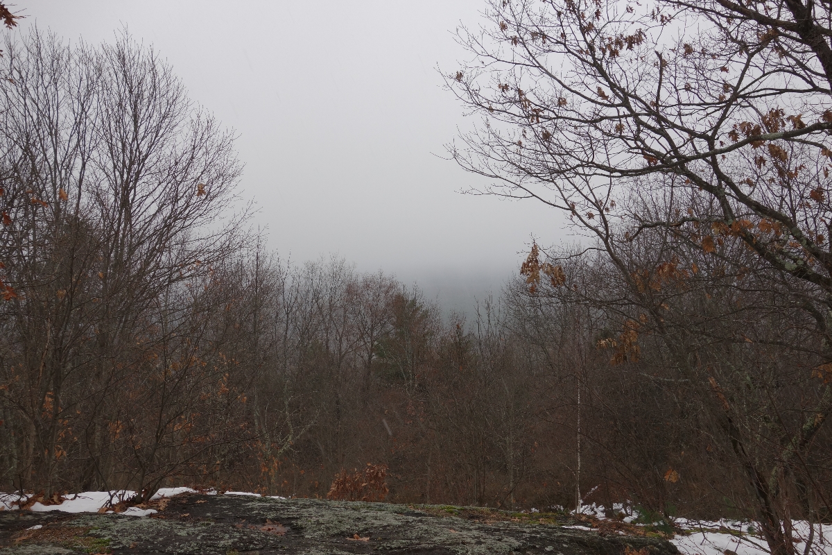
Scrambling up and over multiple peaks in the rain, snow and sleet, I had an amazing time out on the trail and I’m pretty sure my dad did too…
Or at least he did until I went to hug him goodbye at the end of the day and managed to kick his foot so hard that half of his big toenail ripped right off of his foot, making a small portion of his immediate surroundings look like a crime scene. (Sorry for the disgusting visual…I’m a jerk.)
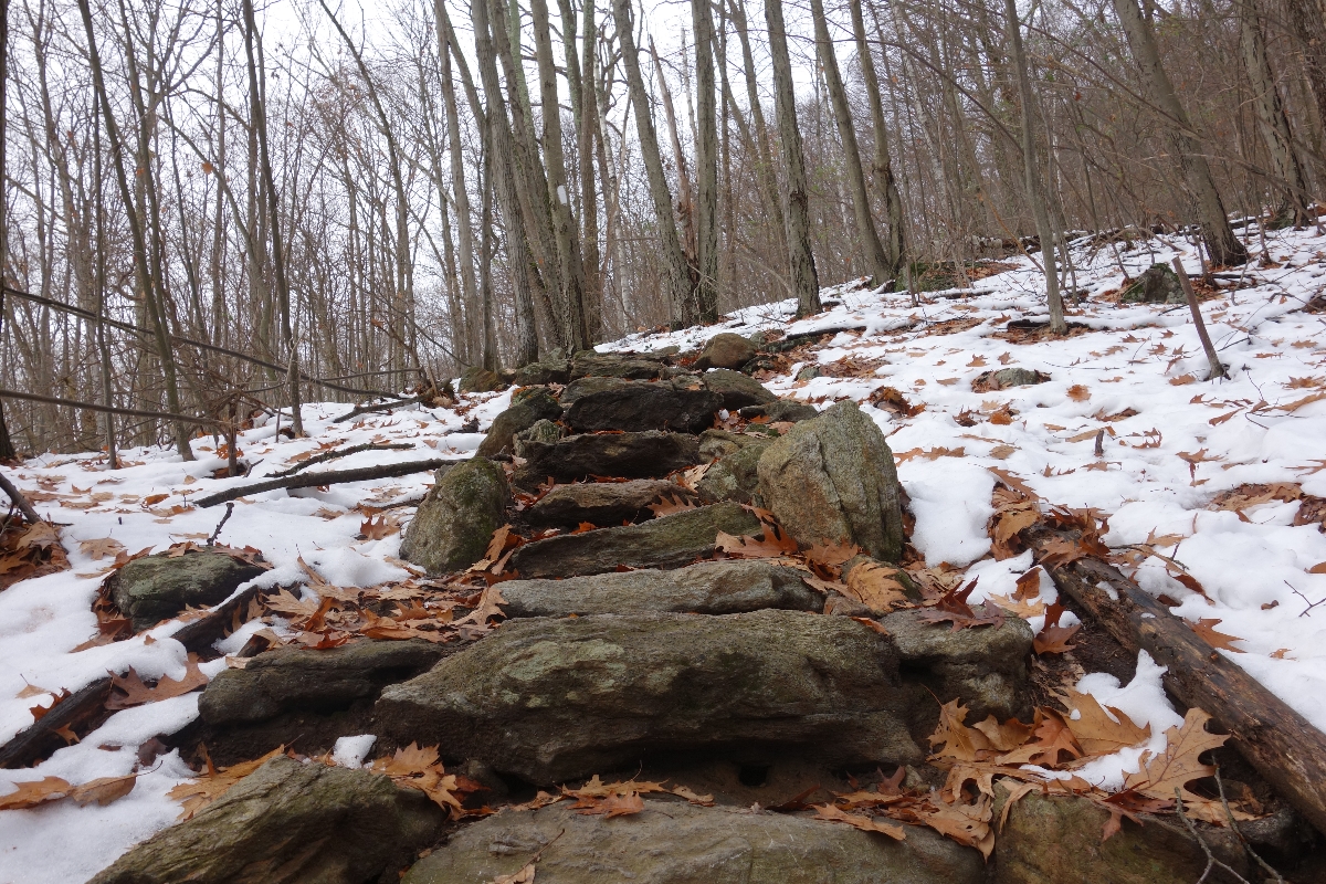
We spent a little over 7 hours hiking and during that time, we navigated steep terrain, managed to not slip on slippery rocks and leaves, and took death defying selfies at the edge of thousand foot cliffs (I’m being a little dramatic here, but selfies can be dangerous) – all without injury.
Leave it to me to kick our zero injury rate out the door at the end of the day. Literally.
But I digress…let’s talk about the actual hike.
Day Hiking the Appalachian Trail: Lion’s Head to Iron Bridge; approximately 11 miles.
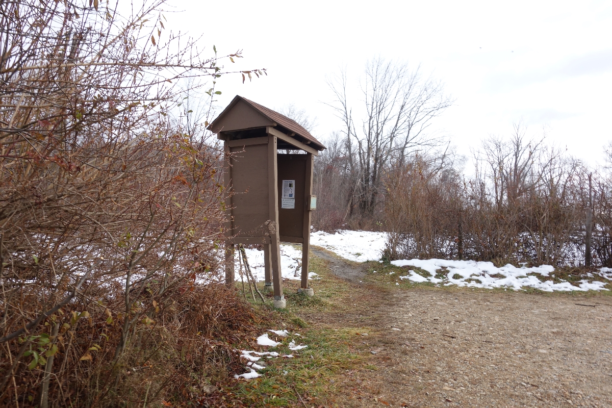
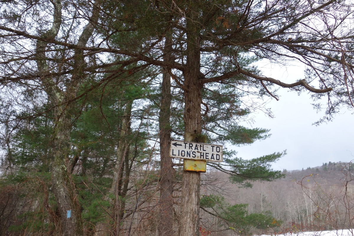
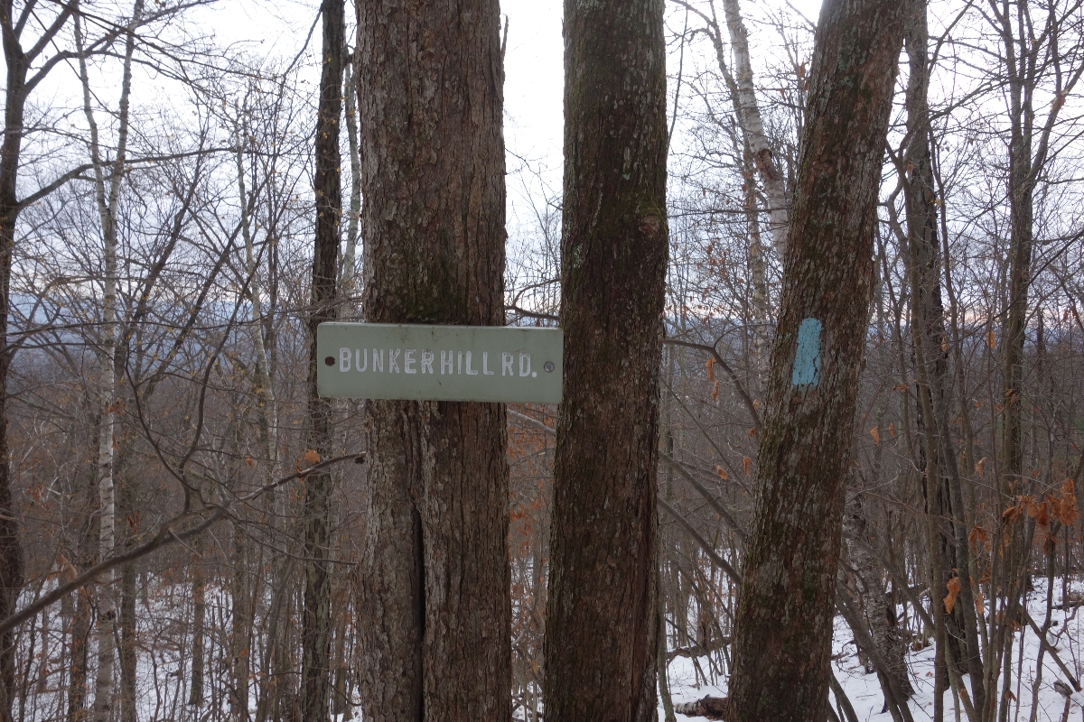
We started off by parking one car where we planned to end our hike: Iron Bridge/Falls Village and then drove a second car to Lion’s Head Trail parking at Bunker Hill.
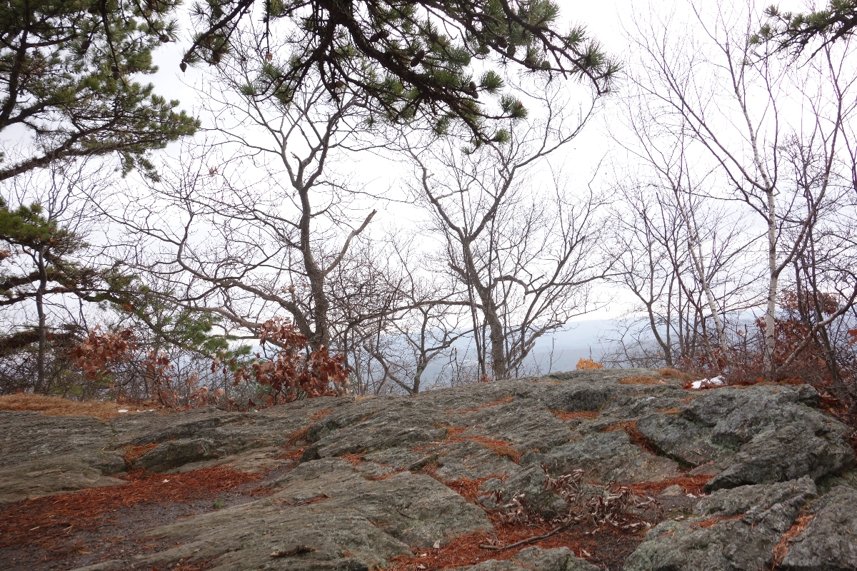
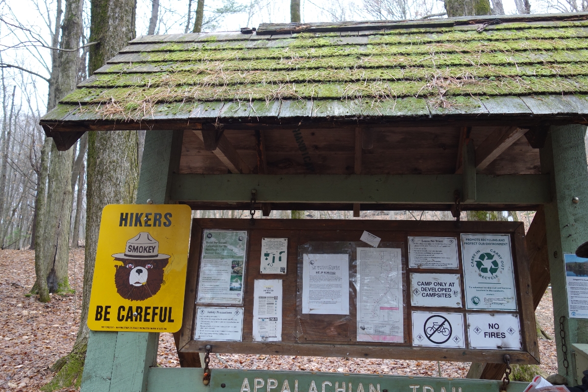
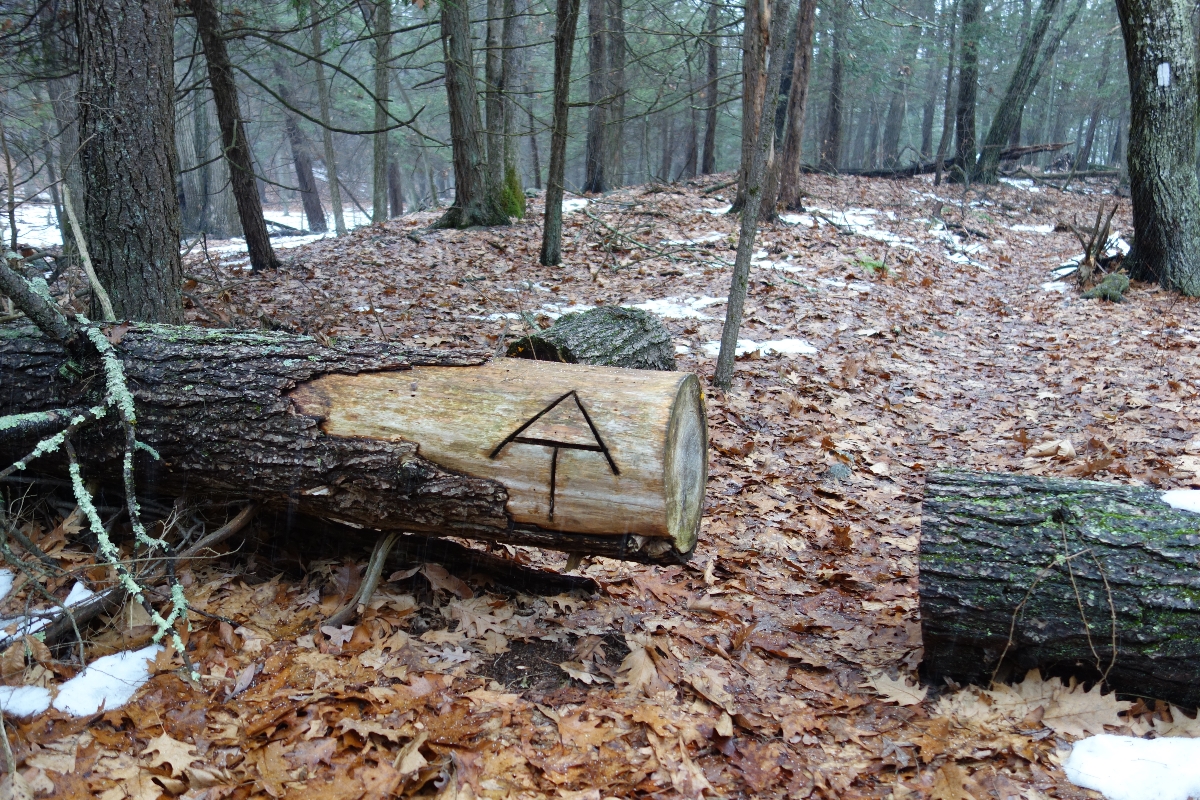
From here, we took a side trail of about .6 miles to meet up with the A.T., then continued up to Lion’s Head Peak, which has an elevation of about 1738 feet.
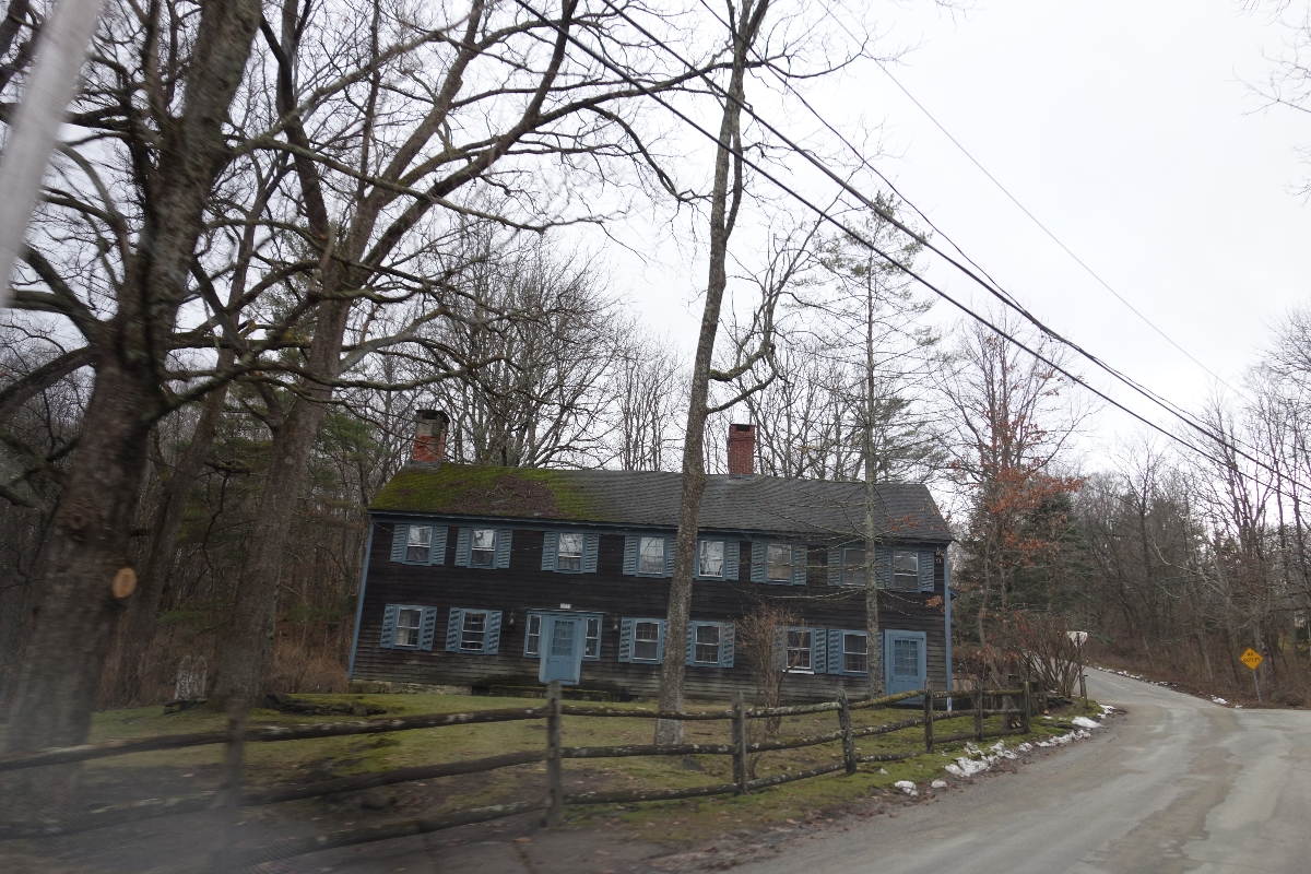
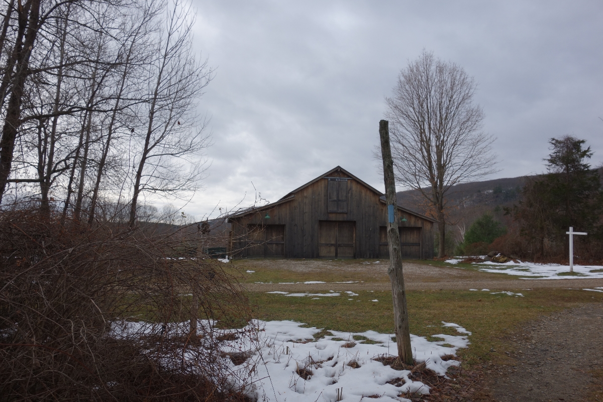
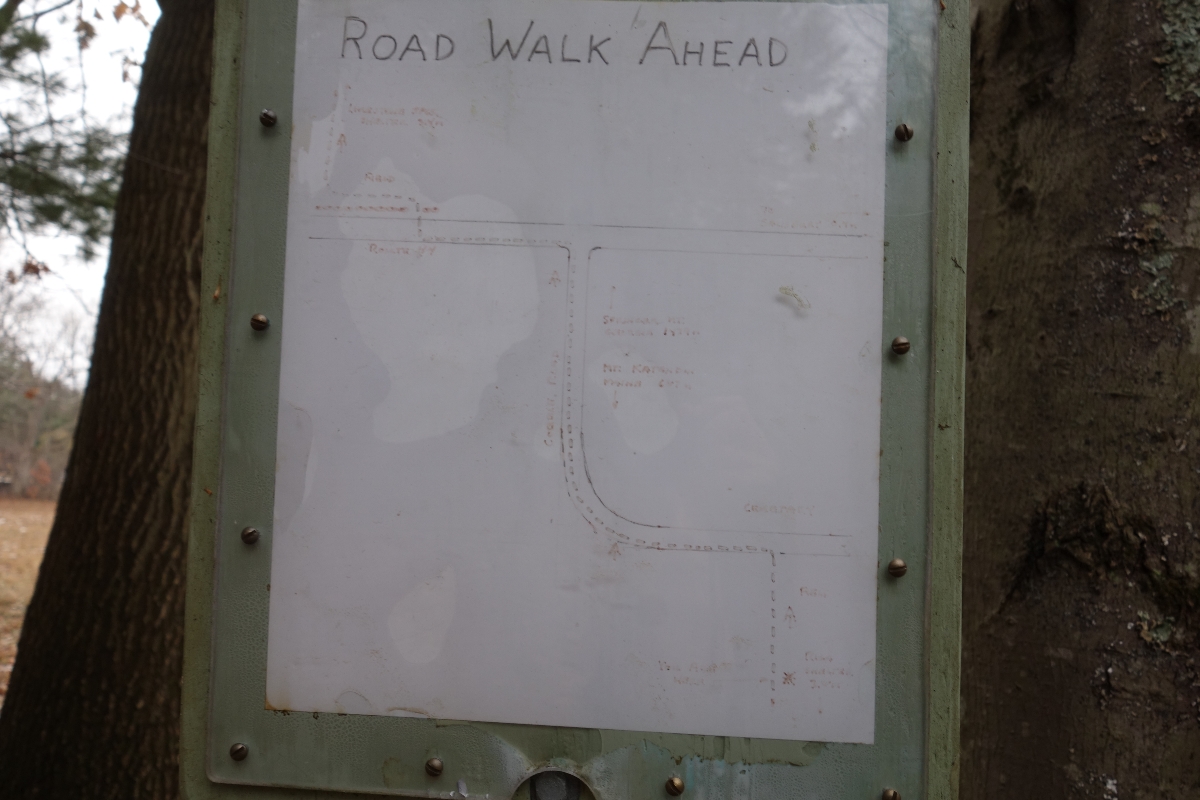
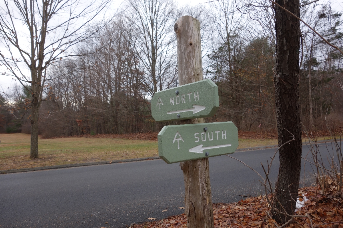
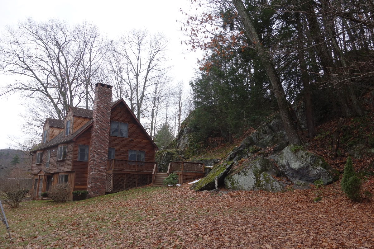
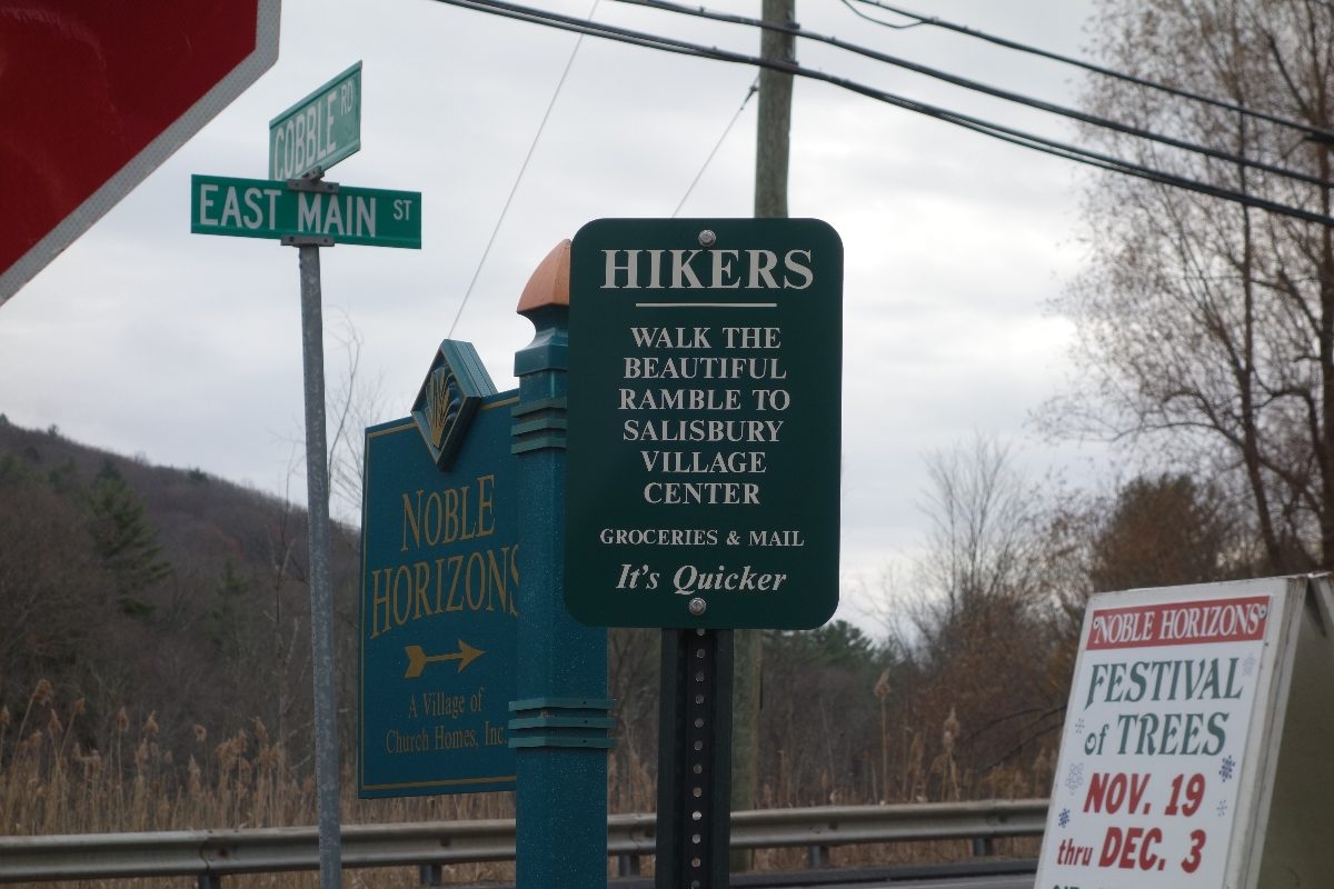
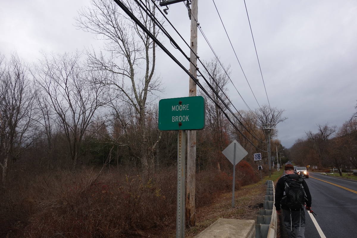
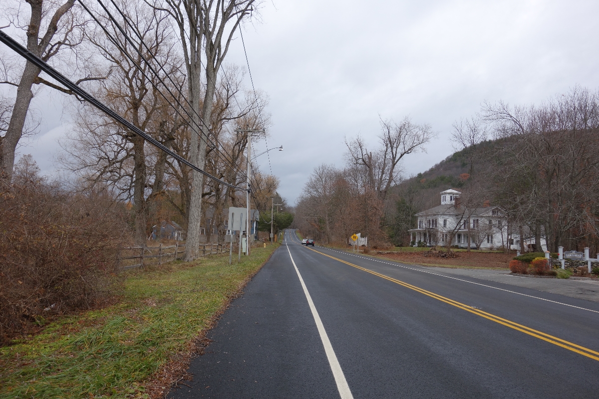
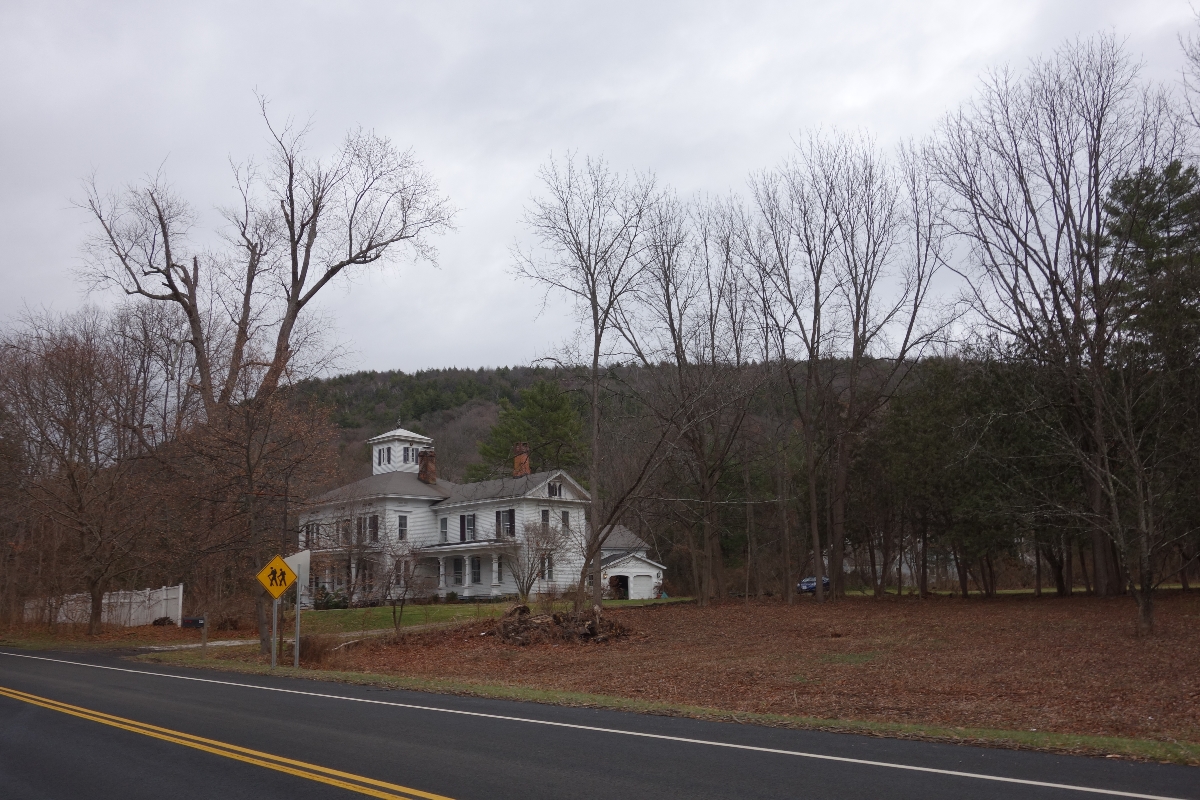
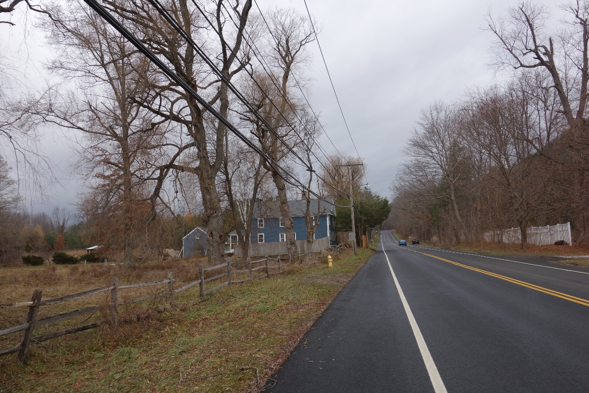
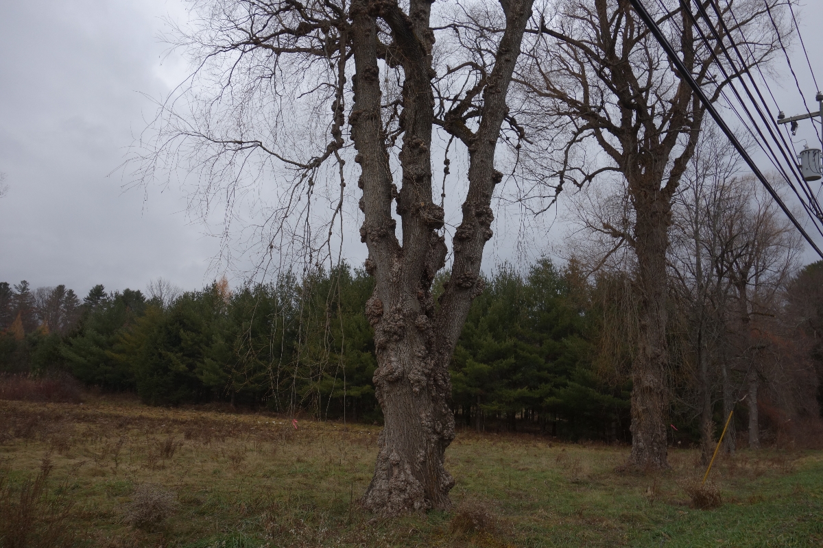
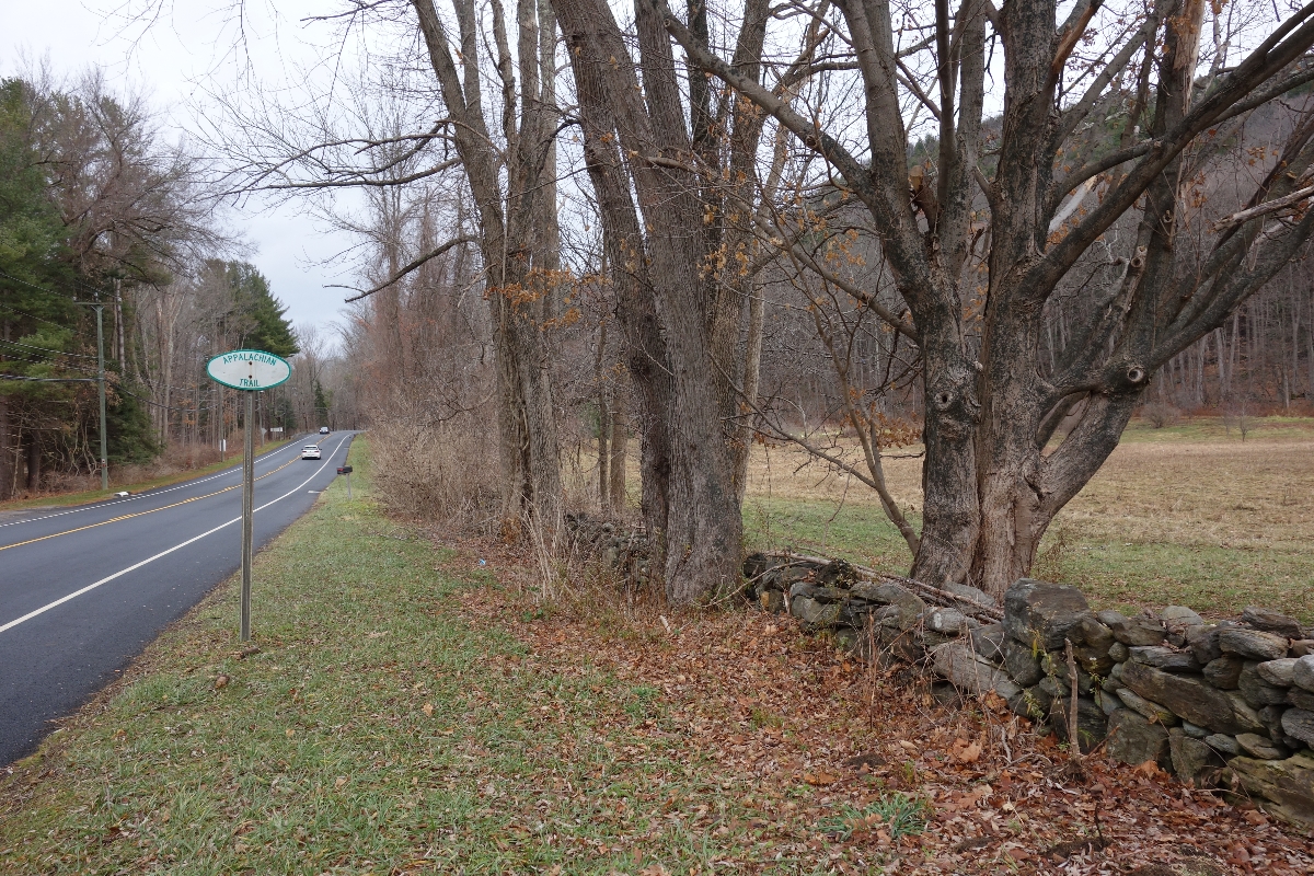
About 3 miles from our initial climb to Lion’s Head, we descended a bit through the forest and came to a small stretch of trail that runs along a residential road. Although I generally prefer being in the woods, I didn’t mind walking on this road. In fact, I found it quite charming and thought that the houses were picturesque.
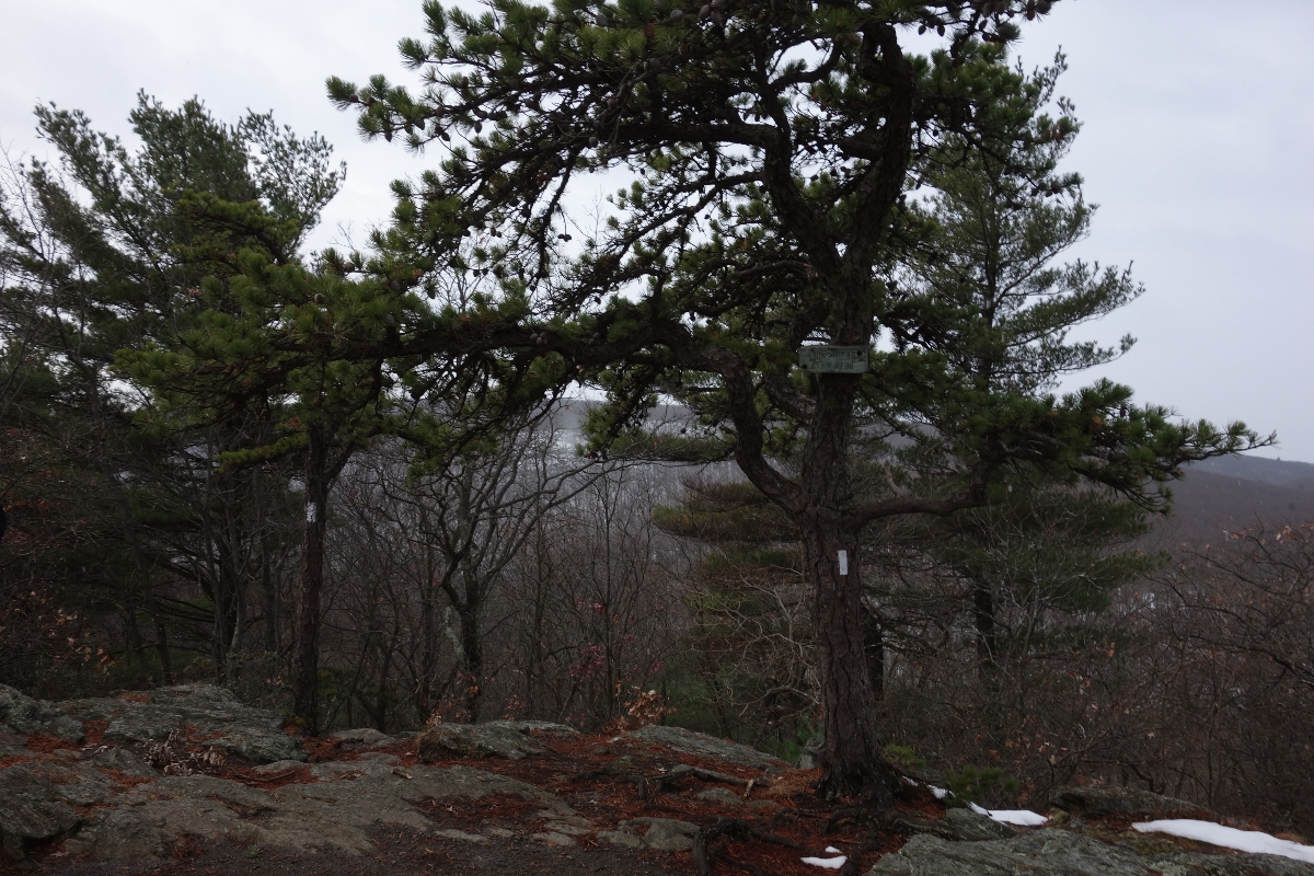
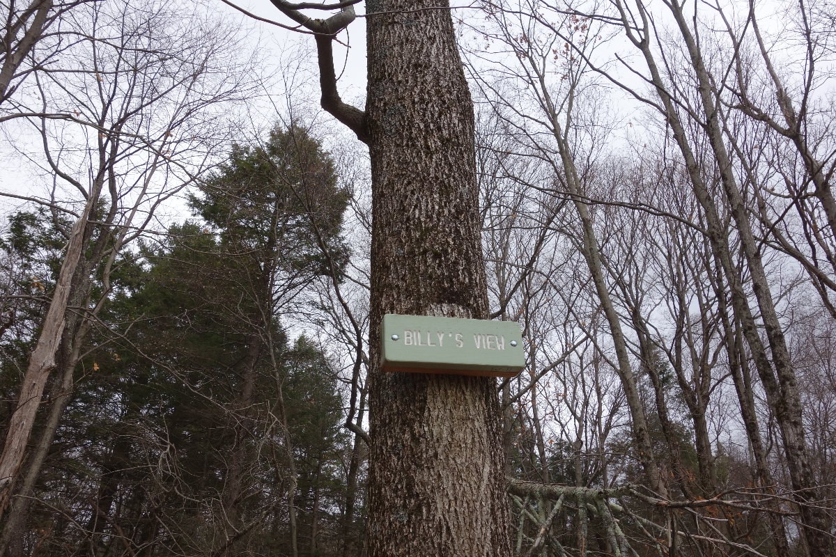
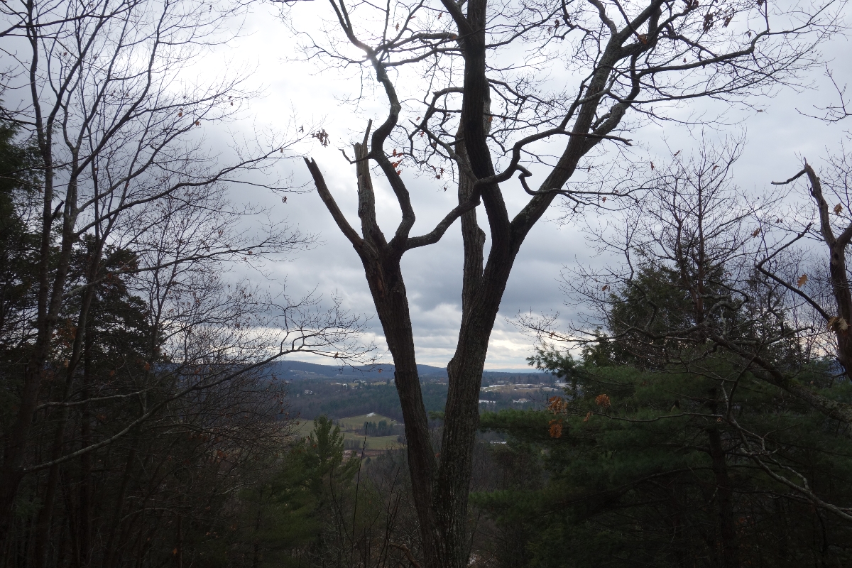
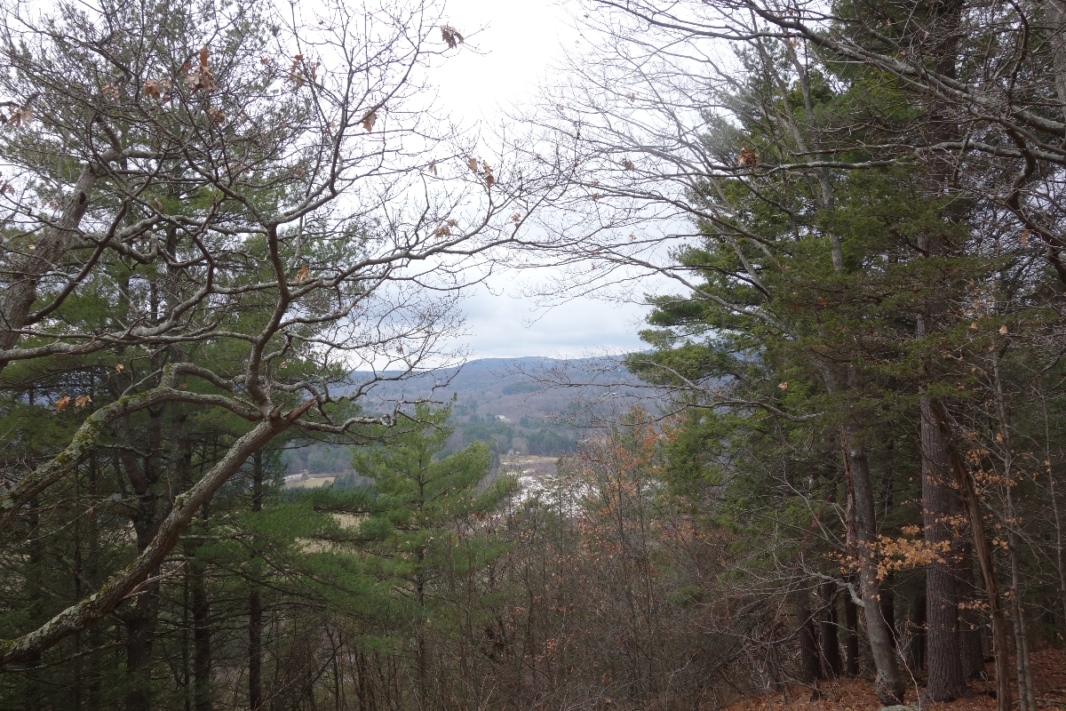
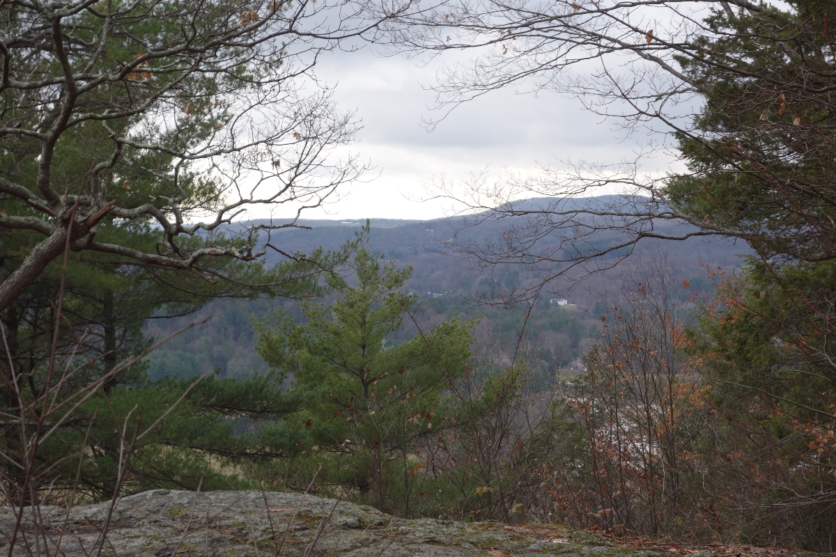
After re-entering the woods, it’s a long steep climb to Billy’s View.
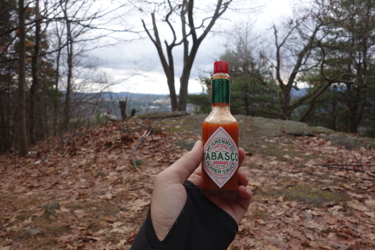
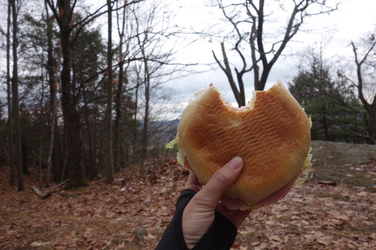
As a reward for our effort, this is where we decided to take a short break and enjoy something to eat. Lunch consisted of a delicious sandwich that my dad made, along with a bunch of snacks.
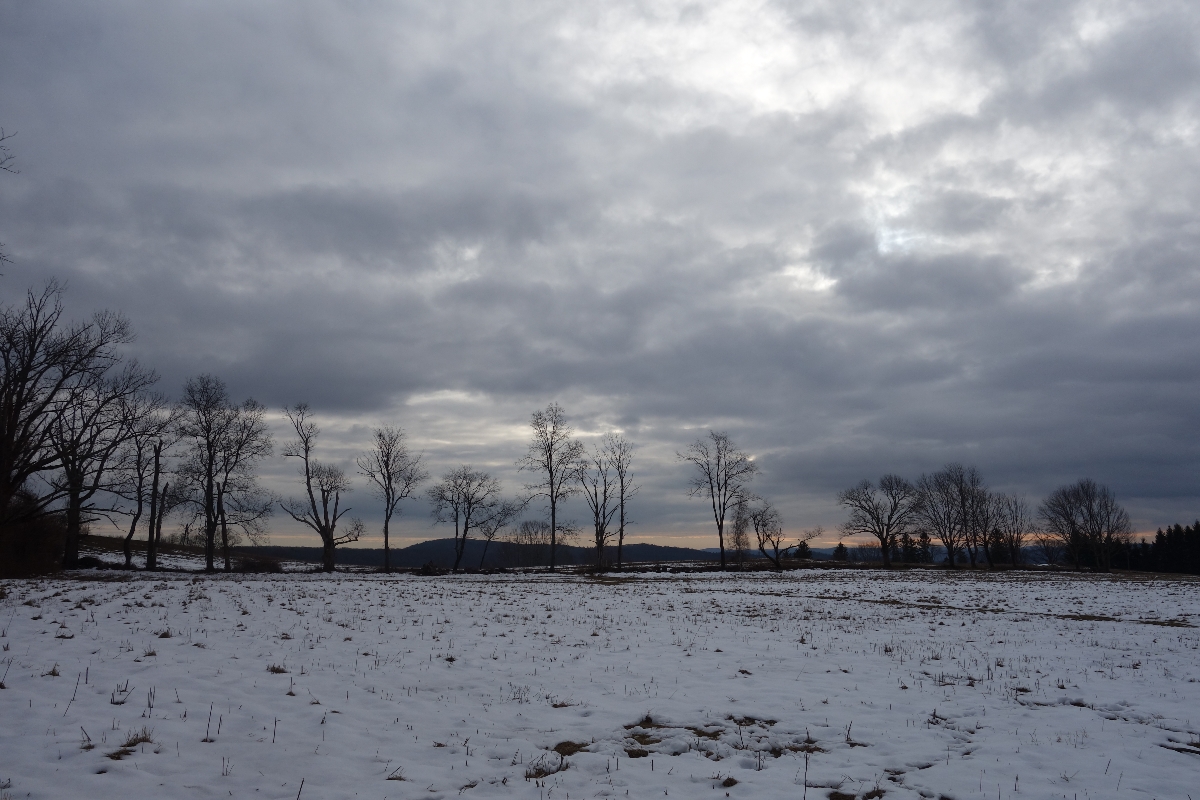
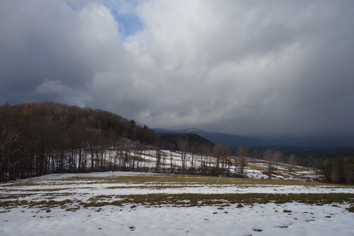
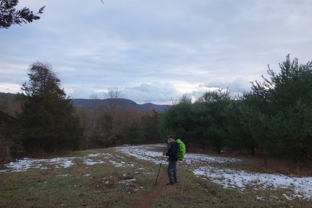
After lunch, we made our way to Rand’s View, which runs along the edge of a big field with sweeping views of the mountains.
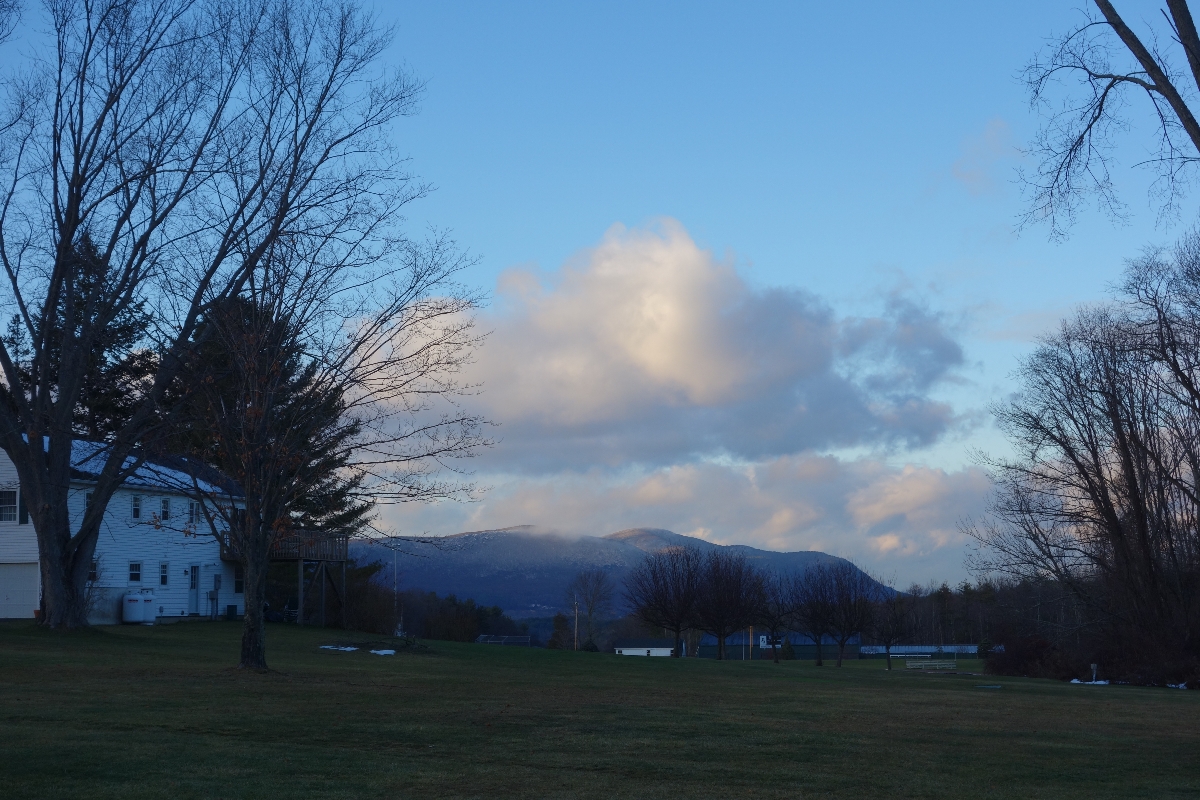
This time of year, the sun starts to set around 5 and looming storm clouds threatened to make the sunlight hours even shorter. Consequently, we were afraid of stalling for too long and losing what valuable sun light we had left. Still, I stopped to watch a hawk soaring in circles off in the distance for a while before making my way back into the woods. It was too beautiful to resist…
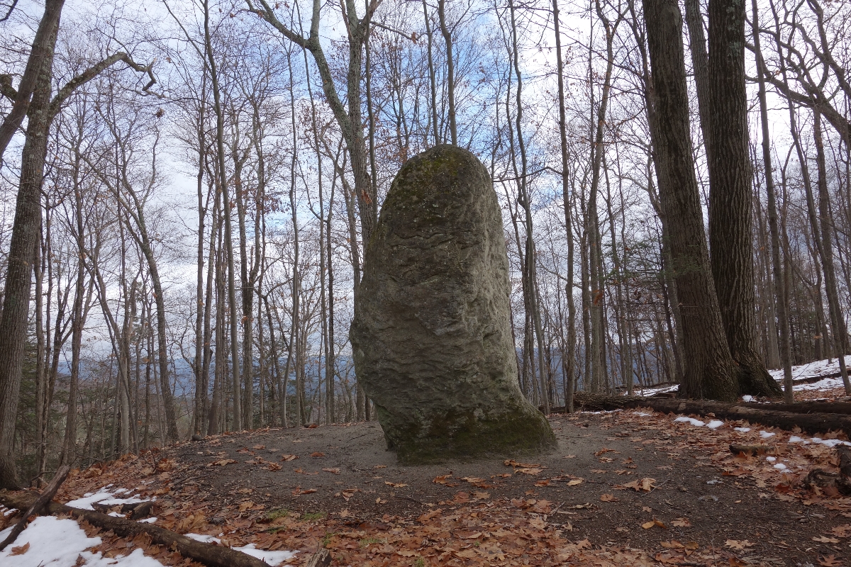
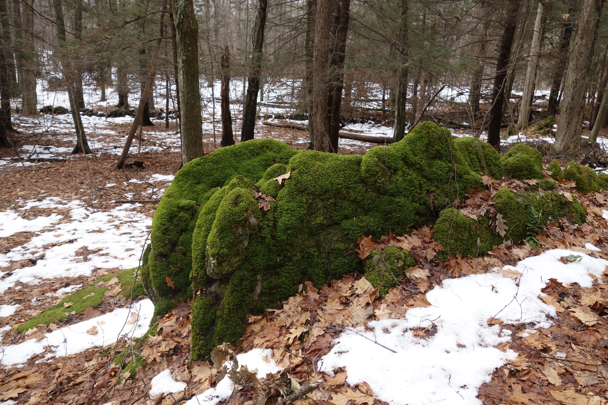
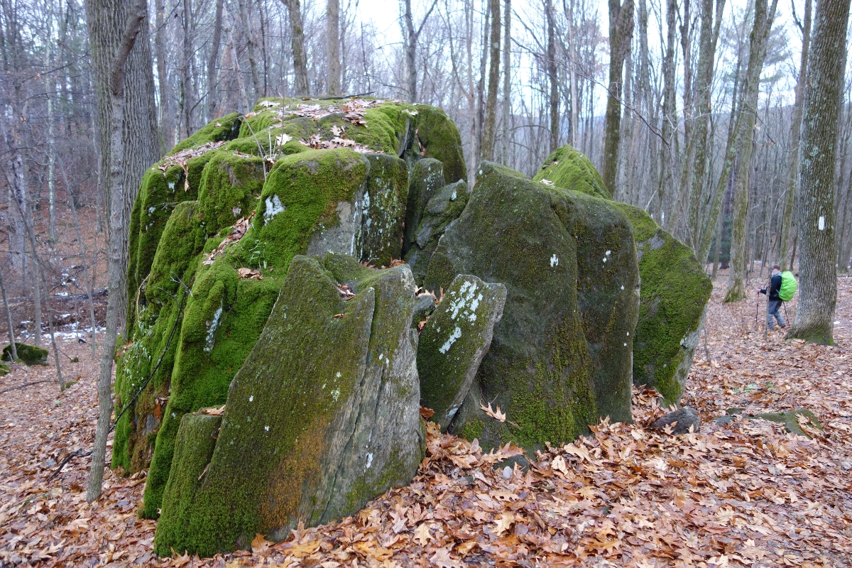
Not too long after leaving Rand’s View, we passed the Giant Thumb (a big rock that looks like it’s namesake). It was kind of strange to see the rock oddly protruding from the ground!
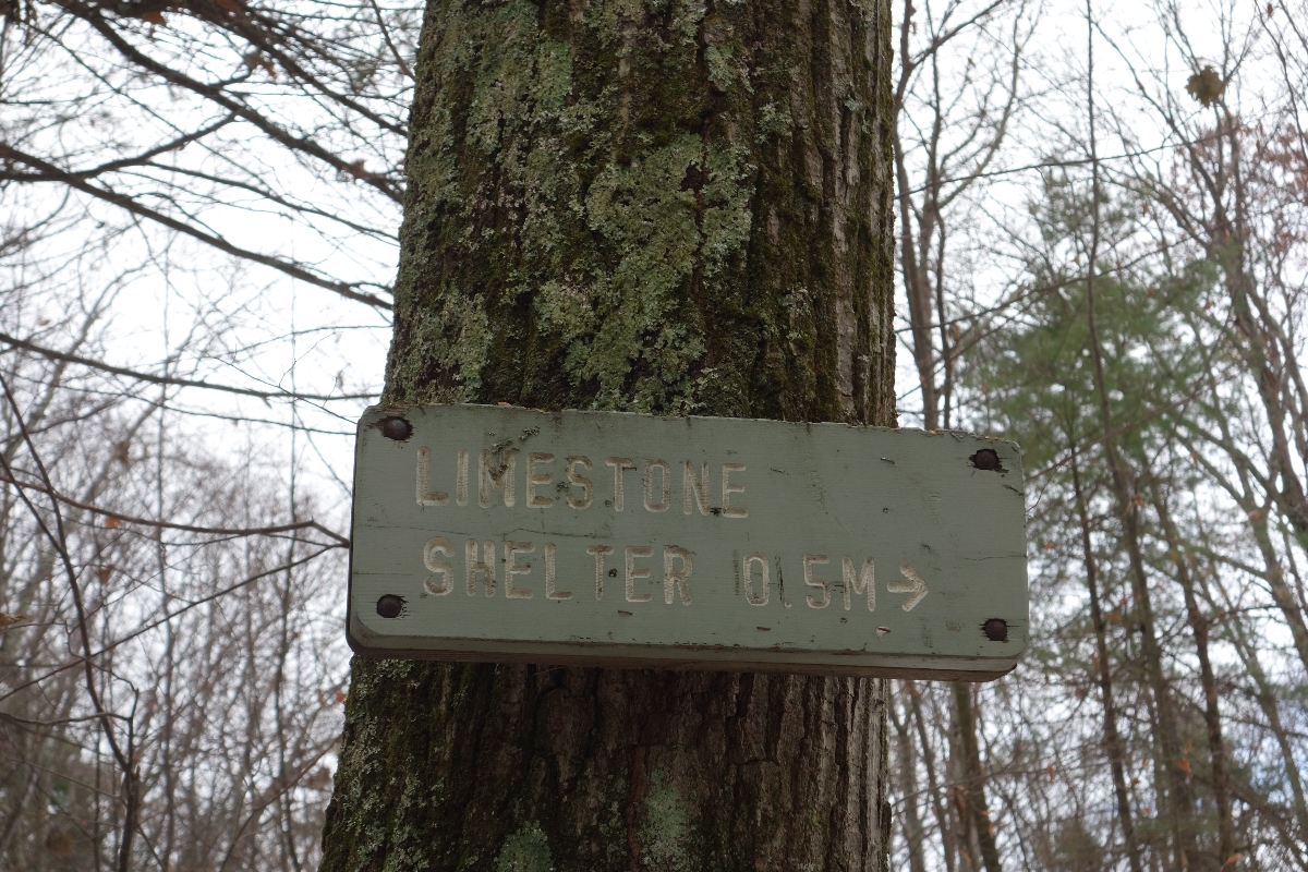
We then passed the side trail that would lead to Limestone shelter. Although the side trail to Limestone shelter is only .5 miles, we weren’t sure how much daylight we had left and we definitely wanted to make it out of the woods before dark, so we decided we’d have to skip checking it out on this trip.
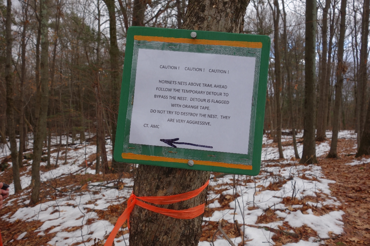
Also, we hit a minor detour due to a nest of angry hornets.
Our last and final peak for the day was Prospect Mountain. After that, it was mostly switchback descents all the way down to Iron Bridge Parking.
